Strategic Communications and Public Affairs
The Voice of SDSU
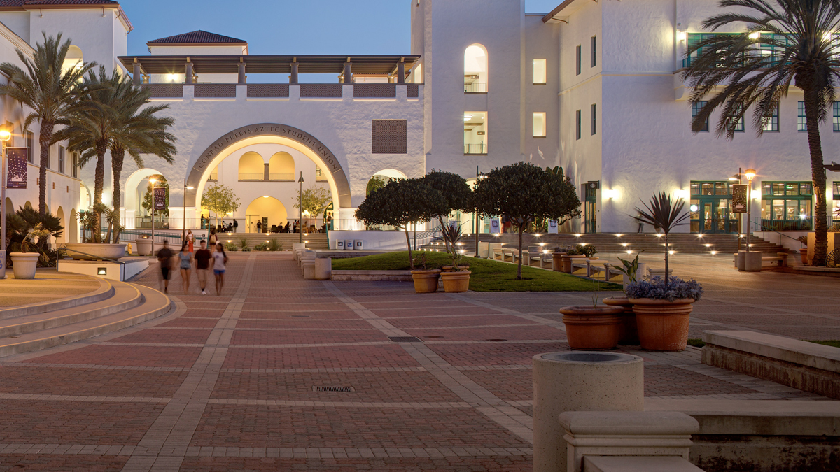
Strategic Communications and Public Affairs tells the story of San Diego State University to our local community, national and around the globe. We work with external media, develop publications and create online resources to help build and promote SDSU, and engage with the community.
The Brand Portal is a living and evolving resource that serves to ensure that all marketing and communications tell the SDSU story in ways that are consistent and accurate, and also powerfully reflect the contributions and impact of our one SDSU community. They are also meant to inspire and clarify, to unify and define, to serve as a guide and a platform for building the brand and bringing it to life. The Strategic Communications and Public Affairs team produces a range of publications from print to digital media. Strategic Communications and Public Affairs (StratComm) serves as an official news and communications source at San Diego State University. For more information about StratComm and its community engagement programs along with resources for media, please click on the links below.Bringing the SDSU Brand to Life
SDSU Publications


Get In Touch
San Diego, CA 92182-8080
Welcome to StratComm